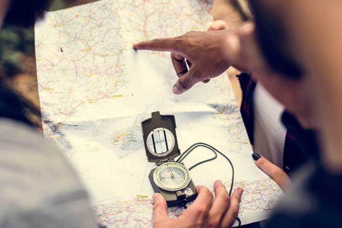
The global positioning system (GPS) used to be exclusive to military and oil companies. However, we’ve become reliant on the technology because our cell phones now essentially double as navigation devices. Most electronics would be useless without power or after an EMP attack, so learning how to navigate without GPS is important.
Without a GPS, you have a few options to keep you going in the right direction. USA road atlas maps lack details but are great for planning your route, especially if you’re planning on going cross country. State roads maps, as the name suggests, show the roads and routes in your state, which could be helpful for finding alternate routes.
For people in urban areas, a local city street map is also good to have for navigating unfamiliar locations. Topographic maps show the lay of the land to help you plan your route and give you an idea of the landscape ahead.
Maps are easy to read once you get the hang of them. Read the index of each map to understand where you’re going, using the legend provided to understand what certain symbols mean and what scale the map uses. For example, 1 inch may equal 10 miles.
Most maps are oriented to the north, so use the compass on the map to point yourself in the right direction. If you don’t know how to find north, check out how you can with a paperclip and be on your way! Check out how your cell phone can still be useful as well, even if it is dead.
Copyright 2021, TheSurvivalGuide.com


